Hazardous Fuels Reduction Treatments Begin Near Meyers

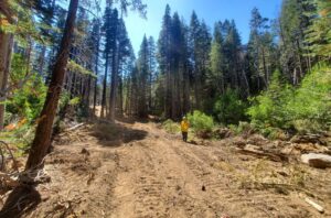
Release Date: May 7th, 2025 Contact Information: Public Affairs, Lisa Herron    530-721-3898    lisa.herron@usda.gov SOUTH LAKE TAHOE, Calif., May 7, 2025 – The USDA Forest Service Lake Tahoe Basin Management Unit is scheduled to begin hazardous fuels reduction mastication treatments in Meyers near the Pioneer Trail and U.S. Highway 50 intersection the week of May 12, 2025. These operations will target […]

Photo of wildland firefighter shoveling smoldering burn pile on snow-covered ground.

Carnelian Woods pile burn project highlights important partnerships and lessons

CARNELIAN BAY, Calif. – The forest skirting the Carnelian Woods Avenue neighborhood now stands much healthier than the forest that resided there before. A pile burning project there is nearing completion. It’s the last leg of a larger fuels mitigation project that included forest thinning. “We have good tree spacing,” North Tahoe Fire Protection District’s […]

Photo of a bulldozed fire control line from the Caldor Fire

What happens after a wildfire is put out?: A Caldor Fire example

EL DORADO COUNTY, Calif. – After burning for 60 days and dropping into the Tahoe Basin within that time, the Caldor Fire reached 100% containment on Oct. 21, 2021, yet work related to the over 220,000 acre fire was far from over. As a fire consumes a landscape, the events that unfold are often nail-biting […]

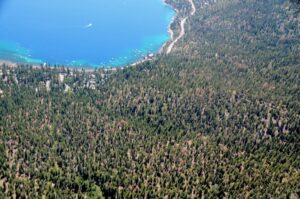
Aerial photo of Lake Tahoe, depicting blue water and forested shoreline.

Tree mortality surveys are out: What they mean for Lake Tahoe

GREATER LAKE TAHOE AREA, Calif. – Each year aerial observers for the USDA Forest Service ride in small fixed-wing aircraft 1,000 feet above California forests. Their focus isn’t on the views or the horizon, but rather downward. Their trained eyes are looking for the yellow or red-brown of dried or discolored foliage. It’s their job […]

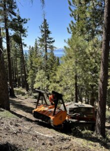
Photo of BurnBot masticator working in forested area.

Thank You, Firefighters and Foresters

This op-ed by Amy Berry and Caitlin Meyer was published in the Reno Gazette-Journal on December 4, 2024.  If you drive down Mt. Rose Highway, you will see remnants of the recent 5,824-acre Davis Fire: Retardant sprayed across the mountain, charred trees on ridgelines, and a forest floor turned black by flame. You will also see “Thank […]